Tankerton Slopes

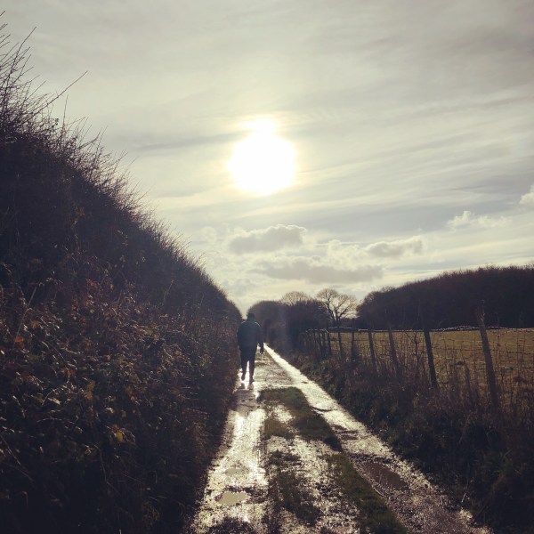
This week it was the chance for my husband to take us somewhere for a walk. I had no idea when I got in the car where we were going to end up and I was still clueless until the last 5 minutes when he took a turn towards Tankerton.

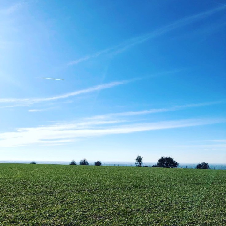
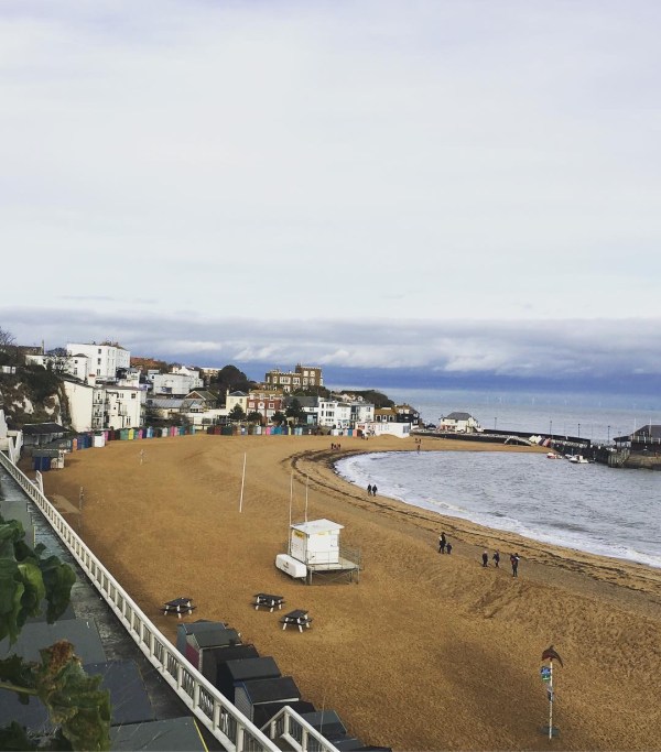
And it was lovely, I hadn’t walked there in years a perfect morning exploring the beautiful coast of Kent. Although it was windy – great for the offshore wind farm though!

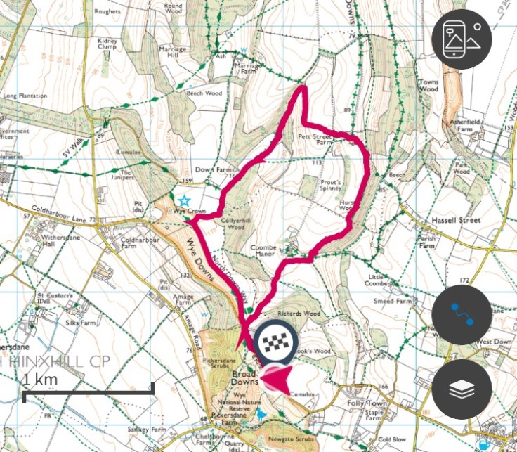
This is a lovely walk for all abilities, with plenty of places to stop and have some food or drink if you wish.

Yr Eifl

It was an awful journey up to Wales last night from Kent – road works and road closures everywhere but being out side exploring today makes up for it.

We use the OS Maps app when we are out and about along with the OS active map – 254 for today. I took the walk from the North Wales and Snowdonia Outstanding Circular Walks pathfinder guide – walk 13 in the book.

Great day out with my boys making memories.

View this post on Instagram

Walking in Wye – Kent

What a beautiful Sunday to explore Kent.

Today we visited the village of Wye, with so many footpaths to choose from it was easy to devise a route.

We parked at the top of the hill ‘The Devil’s Kneading Trough’ where there is parking for approximately 10 cars – parking spaces are marked which I find brilliant as it stops people from taking several spaces. There is also another car park slightly further down the road if this is full.

The view from the top today was beautiful, you could see for miles – we could see a wind farm in the distance.

It is hilly so be prepared if you go down your going to have to come back up!

We use the OS Maps App to track our route.

See this post on Instagram

Reinden Woods

Explored a local woods today, we took the circular walk on UK Defence Land and managed to just miss the rain ☔️ 😁

This has a very easy, sign posted route to follow, and could be incorporated into a longer route if you wish. Lots of information signs providing you with information about the history of the woods.

Parking is limited to approximately 8 cars.

We used the OS map app to track our route.

Information Sheet

View this post on Instagram.

Seaside Adventures

Such a beautiful seaside location for a short walk.

My husband and I took a walk along the cliffs from Dumpton Gap to Viking Bay then back along the beach. It’s such a lovely walk and doesn’t take too long. There are plenty of places to stop along the way if you so wish, including bars, ice cream shops and restaurants.

We used the OS map app to track and record our route.

View this post on Instagram

#walk1000miles

What a beautiful day for a walk in the British countryside. Walking new paths and finding what lies ahead is always great fun. #getoutside

The Ordnance Survey app is a great resource and we use it a lot particularly to plan and record the walks we complete.

The #walk1000miles are gradually clocking up and it will be interesting to see how the year progresses – we are a long way off yet but every mile is a mile closer.

#walk1000miles

‘It’s your road and yours alone others may walk with you, but no one can walk it for you.’

Last year a friend of mine told me about #walk1000miles I love the sound of it but never got around to doing the tracking. After following the group page on Facebook I decided to go for the challenge. The Facebook group is great, they share pictures, hints and tips, walks, ideas, stories and much more. And I have to say there is no negativity in the group which is brilliant. So why not take a look and join the challenge yourself? There is no specific type needed just a desire to help yourself and interest to get outside exploring.

Create a website or blog at WordPress.com

Up ↑